


Tornado season in Oklahoma can feel scary, but it doesn’t have to be. By understanding how tornadoes form and function, you can soothe your anxieties and be better prepared.
Understanding Storm Labels
Knowing the differences in storm labels can make all the difference for your safety and your nerves. Thunderstorms are common, but not all severe thunderstorms have the capacity to produce a tornado. If a thunderstorm is strong enough and has the right conditions for tornadoes, a tornado watch will be issued. This simply means a tornado is possible but does not mean it will occur. This is the perfect time to make your shoes easily accessible, fill your water bottle, and charge your phone.
A tornado warning, whether issued by a meteorologist or indicated by sirens, means there is a tornado either heading toward you or in your area, and you need to take shelter immediately. On campus, these shelters include the basement of Nash Library and Station 82, the basement of the Student Center.
To remember the difference between a tornado watch and a tornado warning, think about it in terms of tacos. A tornado watch means you have all the ingredients for tacos in your kitchen, and mom might choose to make tacos for dinner. A tornado warning means it’s time for dinner, mom made tacos.
Taking Shelter
The simplest way to stay safe in these storms is to watch the weather. Your meteorologist of choice will keep you updated on the threat of storms in your area. In the event of a tornado warning, there are two golden rules for taking shelter: lowest level and center part of your house. Basements and storm shelters are ideal and will protect you from wind and flying debris, but not every home in Oklahoma is eligible for either of these due to the water table. If your home is one of these unfortunate buildings, finding the center of the building at the lowest level possible, such as a closet, and covering your head is the next best option. If you are in a mobile home, the best thing you can do is get out.
As previously mentioned, mobile homes can be destroyed by even weak tornadoes, so they are entirely unsafe. If you cannot find a sturdy building, find shelter outside. If trapped outside, the best shelter is in a ditch or other low area, lying flat on your stomach and covering your head. Stay away from trees, as these can become dangerous projectiles. If you are in your car, immediately pull over and seek shelter. If shelter is not available, pull over, make sure seatbelts are fastened, duck low, and cover your head. It is not safe in any regard to attempt to outrun a tornado.
What exactly are tornadoes?
Tornadoes are violently rotating winds created in severe storms. Tornado size is measured based on wind speeds and damage. Meteorologists today use the EF (Enhanced Fujita) Scale to measure these storms, but the non-meteorologist may find it easier to understand the original Fujita Scale.
The Fujita Scale
The Fujita Scale measurements are in F increments 0-5 (the Enhanced Fujita Scale measures EF). An F0 is a relatively weak tornado, although still strong and dangerous. Wind speeds tend to be anywhere from 65-85 mph and usually only damage tree branches. An F1 can have wind speeds from 86-110 mph and can damage roof shingles and push moving cars off the road. Windspeeds in an F2 can range from 111-135 mph, just strong enough to break tree branches while destroying mobile homes. An F3 is considered a strong tornado. With windspeeds from 136-165 mph, an F3 can tear off entire roofs and uproot and throw trees. The F4 has wind speeds anywhere from 166-200 mph. It can destroy strong buildings and even toss cars. The F5 is the strongest of all tornadoes. An F5 is classified as any tornado with wind speeds over 200 mph. They are known for being massive with bases sometimes over a mile wide. An F5 will level everything and is strong enough to mangle and throw large trucks.
How do tornadoes form?
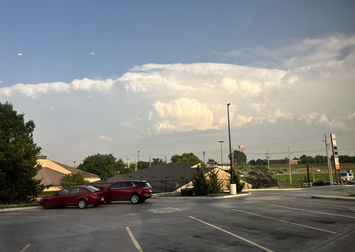
Tornadoes form in severe thunderstorms with very specific wind patterns. In the atmosphere, there is a certain height that meteorologists refer to as a “cap.” This point is the highest that warm air can rise and condense into clouds. In a stable atmosphere, this cap is at a height that keeps storm clouds from stacking high enough to generate the energy required for severe storms. However, in an unstable atmosphere, this cap is much higher, allowing for storm clouds to stack much higher and accumulate massive amounts of energy. If warm air continues to rise and condenses in these storms, it can begin to spin. If the thunderstorm has the specific wind pattern necessary, then a tornado can form.
Why does Oklahoma have so many tornadoes?
Oklahoma is a very flat state, allowing for a good amount of wind flow. Oklahoma is also known to not have a consistent climate; Oklahoma tends to have very hot, humid summers followed by very cold, dry winters. This creates a very unstable atmosphere that is necessary for severe storms and tornadoes.
Should I be worried?
According to the National Weather Service, Oklahoma produced 106 tornadoes in total in 2025. Of these tornadoes, the majority were only EF1 strength, the strongest that year being an EF3, resulting in only 1 tornado-caused death for that year. Although Oklahoma is at the utmost risk for tornadoes, peak tornado season is only from May-June.
On average, Oklahoma only produces 56 tornadoes a year. The areas of Oklahoma with the highest storm risk are from the southwest OKC metro to Tulsa, as the southeast is more mountainous than these areas, blocking wind flow. Statistically speaking, you should not live in fear of tornadoes. Stay weather aware and know where your shelter is and you will be safe.
Jessiekah Cook is a third-year Creative Writing major at the University of Science and Arts of Oklahoma.